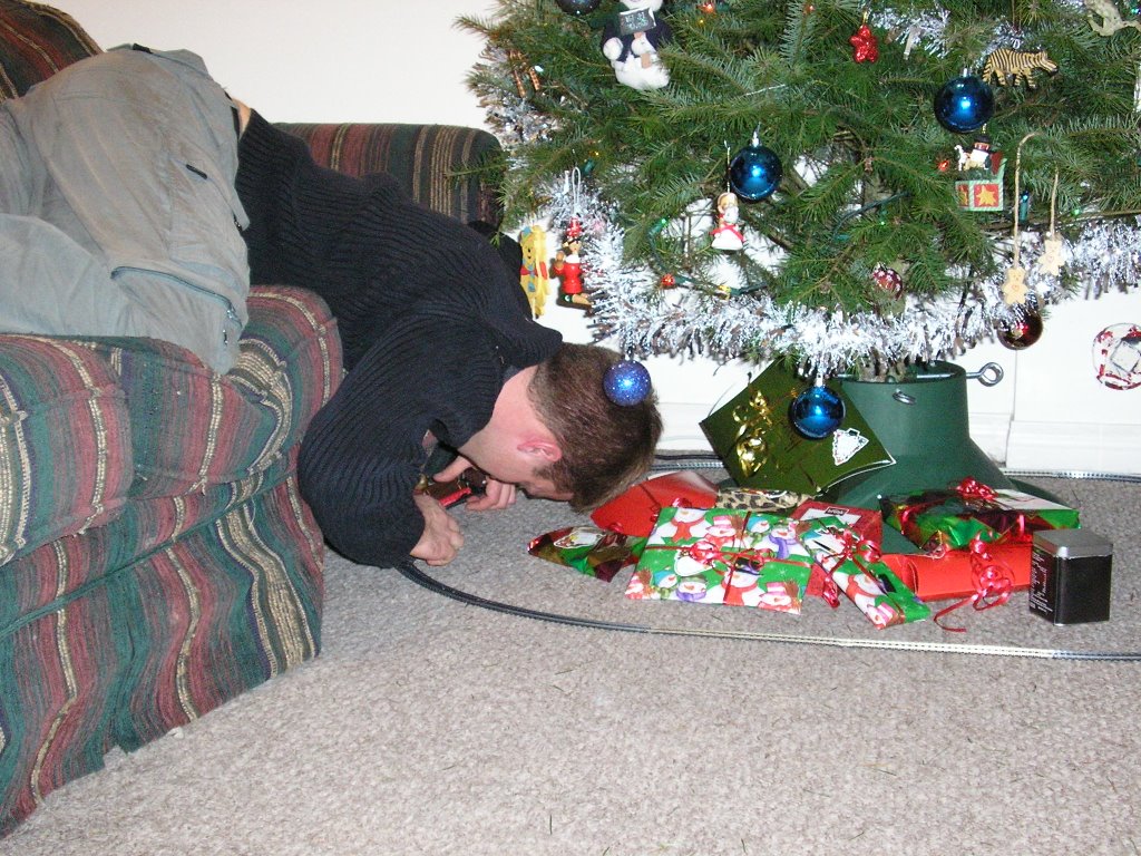
If you didn't receive a Christmas card from us, this is the picture we sent:

If somehow we missed you, well, it was a tragic oversight...
Have a terrific Christmas (or holiday of choice) and all the best in the new year.
Rémi & Sarah
 Figure 1. Clearcuts and burning woodpiles.
 Figure 2. Log booming on the mighty Fraser River. Salmon swim through here every year.
 Figure 3. Sunken boats rotting in the water.
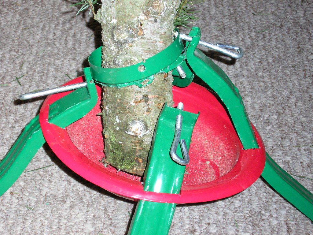


 These next few are from this morning. CRAZY! And it continued to snow ALL DAY.
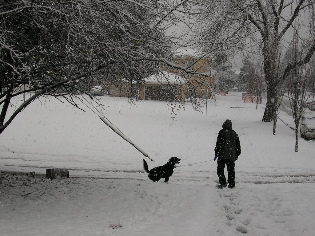

 Maggie obviously thought it was the greatest thing that's ever happened in her ENTIRE life ;)

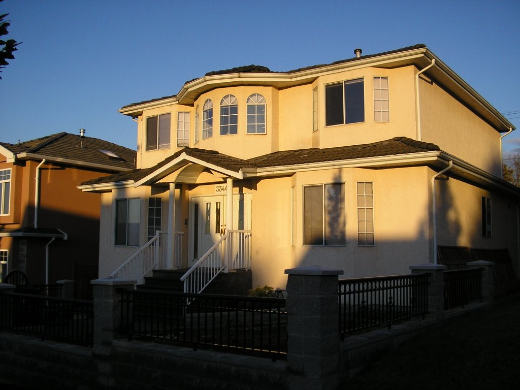
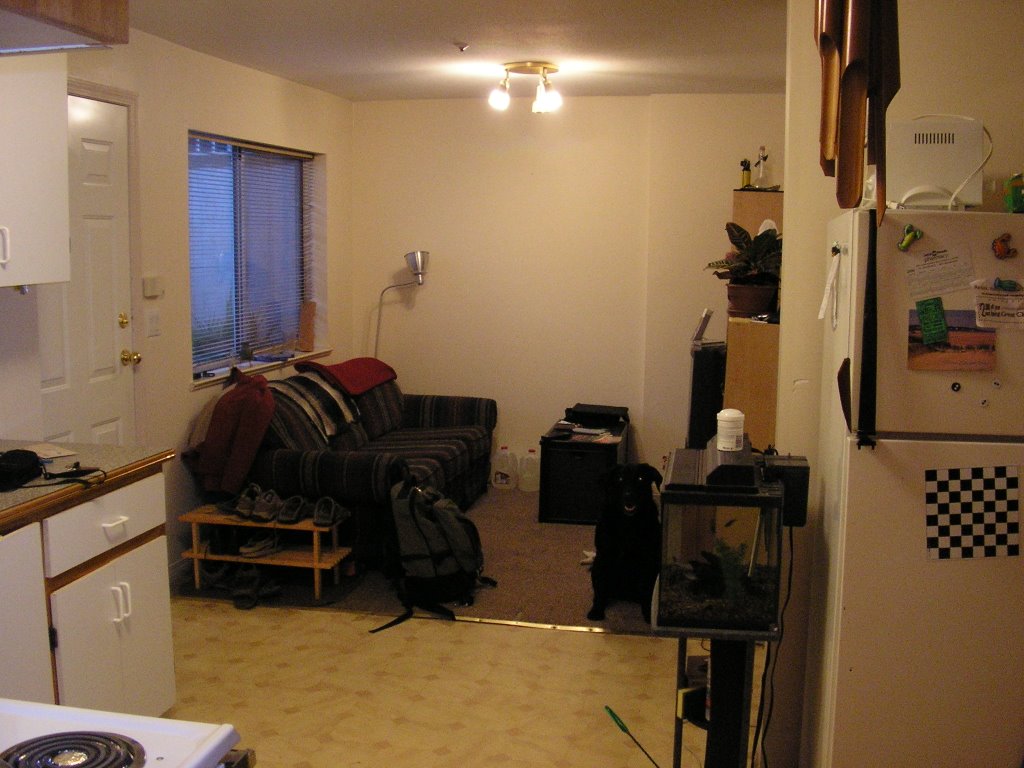


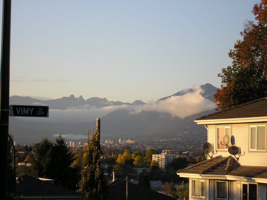
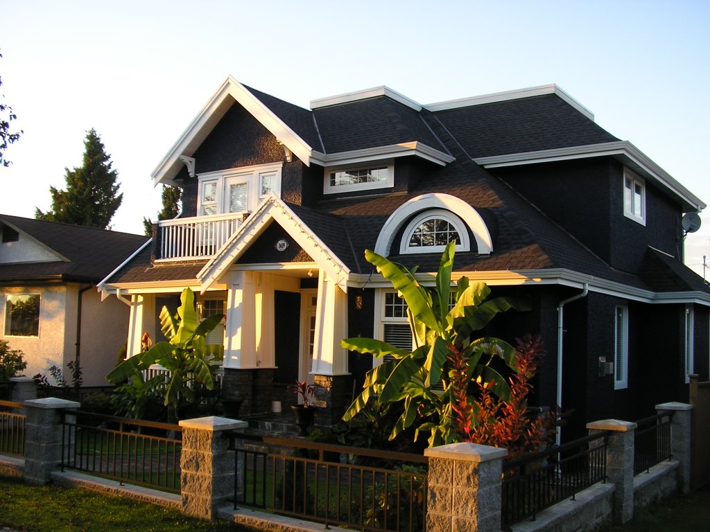


So that's that. Our little neighbourhood. I really quite like it here, despite my hour commute on the bus every day. We're definately going to stay here until the end of this school year, but we might move closer to UBC next summer.
Bye bye for now!
 Sure, it's a little blurry, but it's obviously a seal!


 Camping on Kwai Lake, close to where we were last time.
 It wouldn't have been any fun without a gruelling climb. Bear in mind that we had to go down this later, too.
 I love the panoramic setting. Here you have an alpine meadown, with some forbidding peaks in the background. Bear in mind that Albert Edward is taller than those.
 Tim and Sarah celebrating a small victory. We weren't anywhere near the summit, but it felt good.
 Mountain ice is so cool... There's Albert Edward up behind me.
 We're still smiling because we don't quite know what's ahead of us.
 Here you want to refer to our last trip to the Forbidden Plateau (pictures in a previous post). See that cliff in the background? that's Cruickshank Canyon. Now I scoff at its insignificance!
 Sarah in from of some alpine lakes, with tiny little Cruickshank Canyon in the back.
 Tim needed a picture like this. As a trophy.
 Albert Edward! Check out the icefields down the slope.
 Don't be fooled, she was tired.
 Ice fields on the way to the top. We were running out of water at the time, so we drank from here. The water was delicious and so cold. Despite the ice, the air and sun were hot, and we all burned.
 Last push to the summit. The ground was all rocks and gravel, which made walking all the more difficult. The summit behind us looks close, but it took us close to an hour to get there.
 The summit! 2094m up. Fourth highest mountain on the Island. Absolutely exhausted, but it was totally worth it!
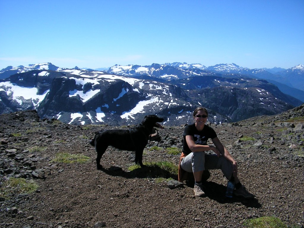 Sarah on the summit.
 Panoramic from the top!
 I wasn't allowed to take my tripod, so this picture is a little off centre, but I still like the shot. In most places, we were so high I got vertigo.
 I was exhausted and found a little shaded nook that was perfectly cooled. It also had an incredible view of the valley below. Looking too closely at this picture, I get vertigo all over again!
 If you zoom in, you'll see Tim and I on the top of that cliff. If I'd known I was that close to the edge, I wouldn't have gone anywhere near it. Cool though.
 Maggie was pooched, nice to rest here.
 This slope was between us and the bottom. So we all slid down it however possible. Sadly, we don't have a picture, but Sarah did it on her bum.
 As we were going back down, we got another view of the summit of Mt. Albert Edward. Hard to believe, but we actually climbed that whole way up!